Explore our services and get in touch
Our Services
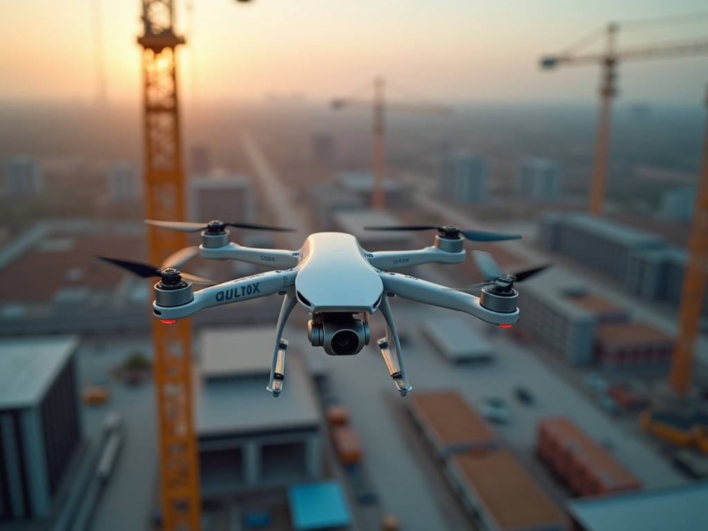 01.
Aerial Survey Mapping
Utilize advanced RPAS (drones) to capture high-resolution aerial imagery and LiDAR data. This service provides precise topographic maps, 3D models, and detailed site overviews essential for planning, design, and environmental assessments across various industries.
 02.
3D Terrestrial Scanning
Employ advanced terrestrial laser scanning and photogrammetry techniques to create highly accurate 3D models of existing structures and environments. This service is critical for as-built documentation, renovation planning, and detailed structural analysis.
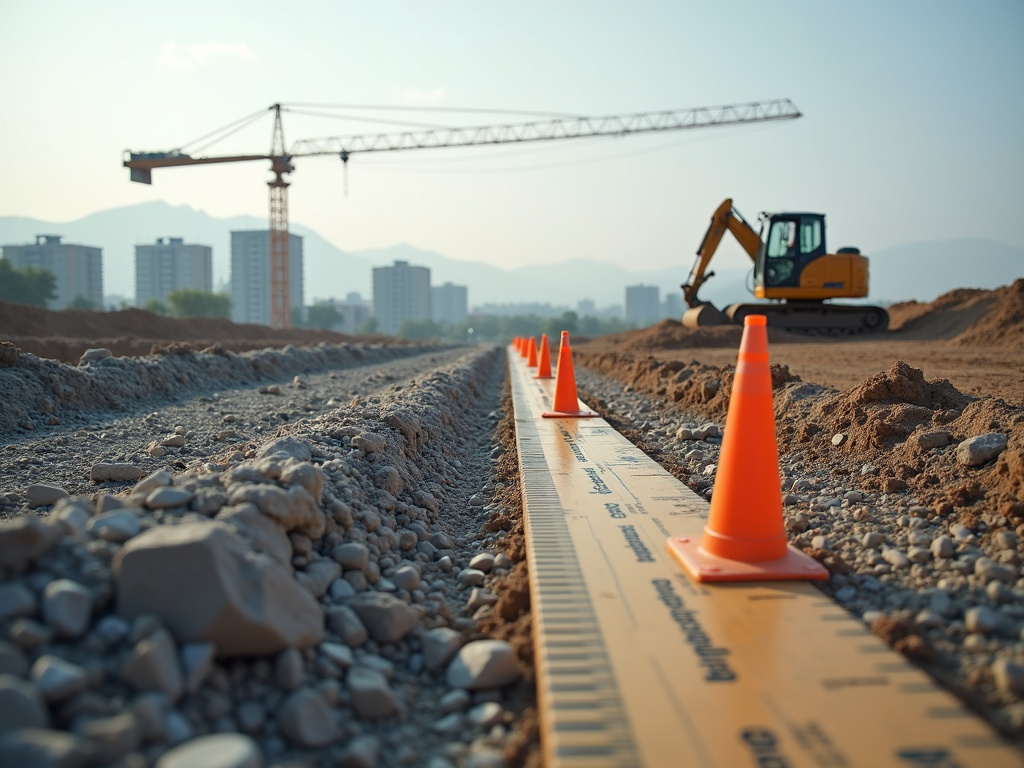 03.
Site Progress Monitoring
Regularly document and analyze project sites through aerial and terrestrial methods to track progress, identify potential issues, and ensure adherence to timelines. This service provides detailed reports and visual updates for effective project management and stakeholder communication.